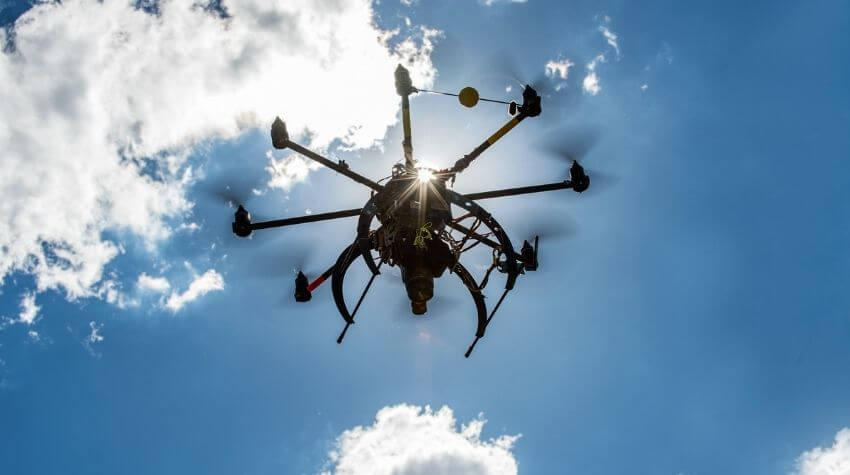
The University of Southern Queensland, in partnership with Land Solution Australia, is helping farmers learn how to use drones to map and monitor their crops more effectively using aerial images and data analytics.
Dr Zahra Gharineiat, a senior lecturer in surveying and researcher at UniSQ, said drone mapping could help farmers make informed decisions about crop management.
'Using drones or unmanned aerial vehicles (UAV) to map fields helps remove the guesswork when it comes to assessing crop health, monitoring crop growth rates and even spotting disease or other crop issues,' Dr Gharineiat said.
While the cost and time-saving benefits of using drones to monitor and manage crops are becoming widely known, Dr Gharineiat said the biggest hurdle for farmers was knowing how to process and analyse the data.
'Most of the farmers I have spoken to say they are keen to use the technology, but lack the knowledge and technical skills to process the images taken by the drone and convert them into maps,' she said.
To help overcome this problem, Dr Gharineiat and Dr Jun Wang, a data scientist at UniSQ, helped develop a new cost-effective, easy-to-use data processing platform. The cloud-based service allows farmers to upload their aerial images and automatically create precise maps of their crops.
'Our key focus is to fill the knowledge gap so farmers can begin to tap into the full potential of drones and harness the opportunities they offer,' Dr Gharineiat said.